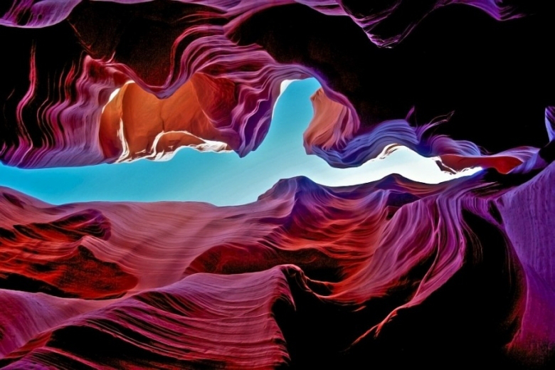
Antelope Canyon in Arizona


Antelope Canyon located in Page, Arizona (USA) is one of the most photographed geological gems known Earth. Water has created walls in some places are 40 feet high.
The canyon is located on a Navajo Indian reservation. The geological formation has been piercing due to water currents passing through epigénesis process for thousands of years. It is adjacent to Glen Canyon Recreational Area, and in particular, on the shores of Lake Powell, the canyon is located at an altitude of 1,200 meters, and its sinuous walls in which light penetrates are about 40 meters high.

It has a total length of 400 meters. Its walls, carved into the sandstone remember, thanks to the lighting conditions, hourglasses those sold in the bazaars, the grains of sand, of various shades of brown, form patterns and differentiated strata. The rocks, by far, seem of cardboard. No wonder, then, that any tour you meet more than a professional photographer ready to capture the effect for magazines and postcards. Because in the 4 seasons of the year, due to the entry of light through the cracks of the red rocks, the colors change, as in an ocean, even on the same day, the color settings can be altered depending on the angle vision in which we put the camera or our eyes, giving the place an air of Natural kaleidoscope.
The name Navajo Antelope Canyon is Tse ‘bighanilini, which means the place where water runs through rocks. What of «Antelope» in our language is used by the proliferation of wild antelopes previously inhabited the region.
It consists of two separate formations, referred to individually as Upper Antelope Canyon and Lower Antelope Canyon.
One of the reasons that the barrel can only be visited with a guide is the danger of flash floods as torrential rains in the region may lead to total flooding of the canyon in minutes (mainly streams that originate in higher altitude regions).

One of the reasons that this canyon was gained in popularity the deaths of eleven tourists on August 12, 1997. The only survivor of that catastrophe was the Navajo guide.
To get there, take a deviation in AZ98 road, east of Page, at the height of 299 miles.